The Quebrada Seca-Burío watershed is located in the Great Metropolitan Area of Costa Rica, within the boundaries of five municipalities: Heredia, Belen, Barva, Flores, and San Rafael. The river has a length of 15.6 km and discharges into the Bermudez River; the confluence is located in Alajuela. The watershed has a surface area of 23 km2, is characterized by a tropical climate with an average annual precipitation of 2000 mm, the rainy season lasts from May to October. The elevation varies from 1600 to 860 m. Historically the area was used for coffee plantation, nonetheless a rapid urbanization process took place within the last two decades and currently the area hosts around 270,000 inhabitants.
 ©
SEE-URBAN-WATER
©
SEE-URBAN-WATER
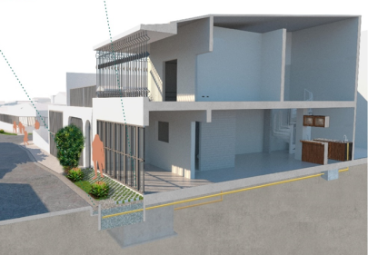
A quick overview of the site shows that residential, commercial, and industrial areas are distributed along the elongated watershed, with some remainders of vegetation. Regarding the urban water system, the common practice is that grey and stormwater runoff is discharged without previous treatment into the river by interconnected sewer systems, it is expected that new developments install their own infrastructure for stormwater management and wastewater treatment. However, the implementation of this kind of infrastructure is still at a planning stage by the local authorities. Main water-related problems in the catchment are hydraulic stress, river bank scouring, water quality degradation, flood vulnerability and loss of green areas. Our main counterpart for the research carried out in this watershed is the University of Costa Rica.
Monitoring network and prototypes
 ©
SEE-URBAN-WATER
©
SEE-URBAN-WATER
A monitoring network has been installed in the Quebrada Seca-Burío watershed, mainly, to measure the process of rainfall and runoff. In 2016, the municipality of Belén installed four rain-gauge devices and river water level sensors to alert the population during high-risk flooding events. They are distributed along the watershed and transmit real time data. In the context of the SEE-URBAN-WATER project, other four water level sensors were installed along the river, to obtain more precise data to understand the dynamic between rainfall and the river flow. Additionally, a tipping-bucket rain-gauge device and a meteorological station were installed in our experimental area in Llorente, Flores, to compare results. To measure soil moisture in the study area, six sensors were operating during the wet season of 2019 at different soil depths.
Three of them were located in a green strip of a sidewalk, and the other three devices were installed in a vacant land. Furthermore, the stormwater runoff conveyed by the sewer system has been measured with a water level sensor, to understand the local dynamic between rainfall-runoff. These results were the basis to propose specific local adaptations at the outfall of the drainage system. Local authorities gave the approval to construct these adaptations as experimental prototypes in the neighbourhood Siglo XXI, the prototypes were built in public areas.
Prototypes are different implementations of Urban Green Infrastructure elements which are tested in their hydrologically/hydraulically as well as ecological functioning by field and lab measurements as well as continuous monitoring of water quality and quantity changes. The (technical) performance is tested individually and in combination of all prototypes in order to evaluate the individual and the combined performance.
The first prototype consisted in a modification of the sewer. The geometry of the last manhole before the outfall was adapted to perform as a detention infrastructure during rainfall events. Since grey water is conveyed through the sewer pipes, they are collected and discharged to an infiltration area.
The second prototype, works at a street level, as bioretention basin. It was installed in the green verge and sidewalk; dry-weather runoff (greywater) enters the basin for filtration and the effluent is discharged to the existing drainage system.
The third prototype works at a Household level, consists of a Horizontal flow constructed wetland for greywater treatment of a family home, installed in the sidewalk in front of the property.
Social experiments complement the prototype-based research and are understood as a transdisciplinary methodology to test and experience alternative uses of public space (e.g. interventions and closings of streets, additional uses for exiting public spaces) to activate areas and different actors for the co-designed implementation of Urban Green Infrastructure. Above all, the social functioning and the overcoming of socio-political implementation constraints is considered by realizing social experiments. Thus, in the experimental process, the ecological and hydrological/hydraulic functioning is not necessarily tested. Tactical urbanism – as low-cost, temporary changes to the built environment intended to improve neighborhoods – is a specific methodological option to realize social experiments.