Case Study – Quebrada Seca-Río Burío (Heredia, Costa Rica)

© SEE-URBAN-WATER
The object of this study site is the river basin Quebrada Seca- Río Burío which passes through five cantons of the Province Heredia. The origin of the river is located in San Rafael and it traverses further through Heredia Flores, Barva, and finally through Belén. The area of the cantons covers about 400 km². Historically the land was used for coffee farm agriculture, but in the last decades it has suffered from strong urbanization processes, so that this area currently hosts 270,000 inhabitants. These developments, among others, have led to regular flooding and forceful currents in heavy rainfall cases, affecting the riparian areas and houses close to the river. The capital of the province, which is also called Heredia, is known for a small fort in the center of the city. The so-called “Fortín” was declared to the national monument of Heredia and offers a beautiful view from the top of the tower. Relevant cooperation with local partners like CIEDES (Center for Investigation of Sustainable Development) of the University of Costa Rica, the municipality of Heredia, the Ministry of Health, and other stakeholders have been established and will be strengthened throughout the research process.    

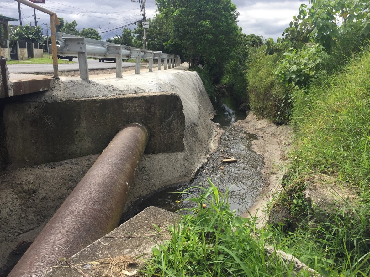
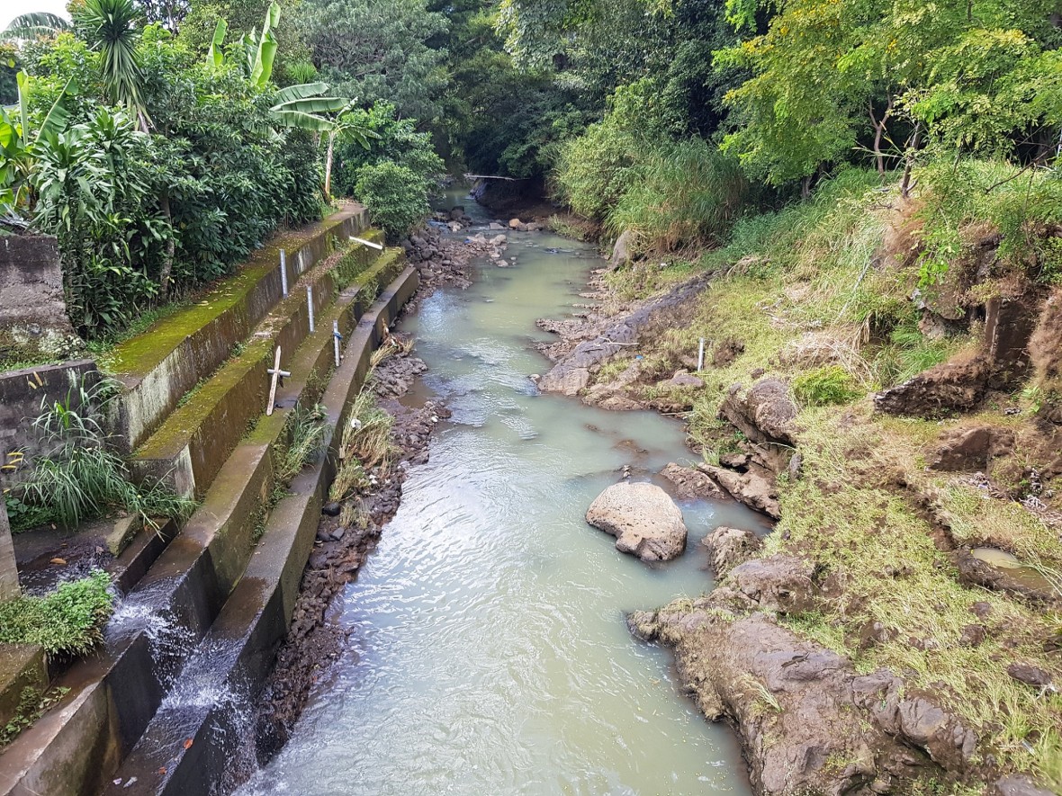
  • Upstream of the Burio river in Barva; the image shows the river embankment that protects road infrastructure scour.

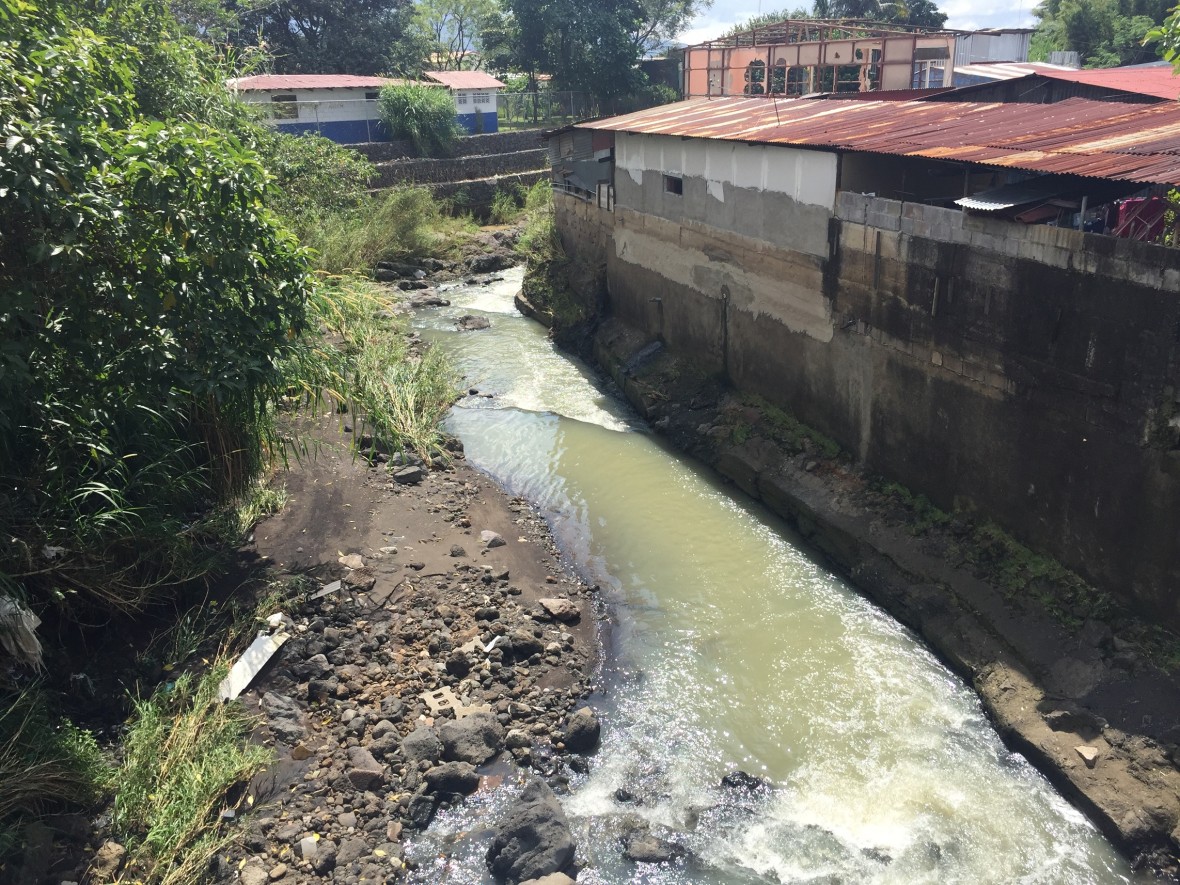
  • Upstream in Barva wastewater discharge was observed and the river is embanked to protect the bridge.

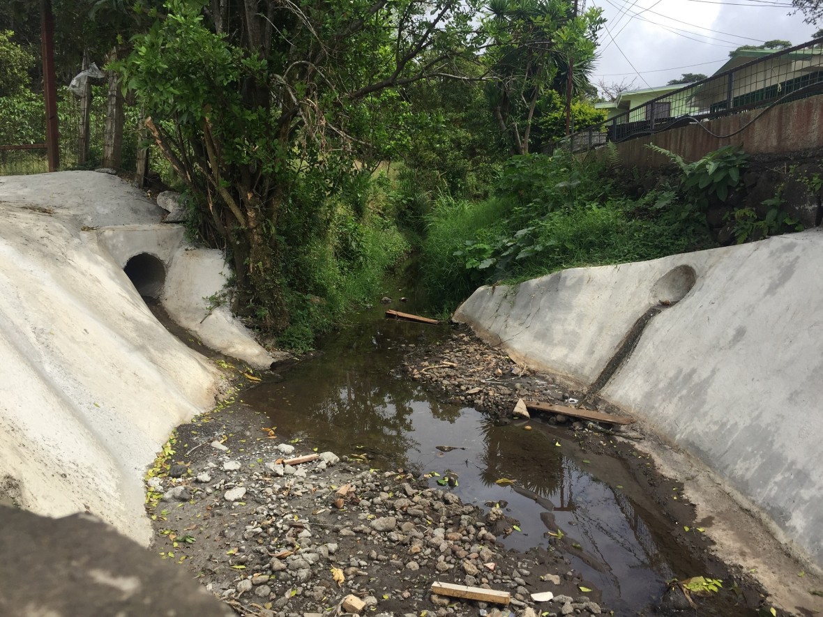
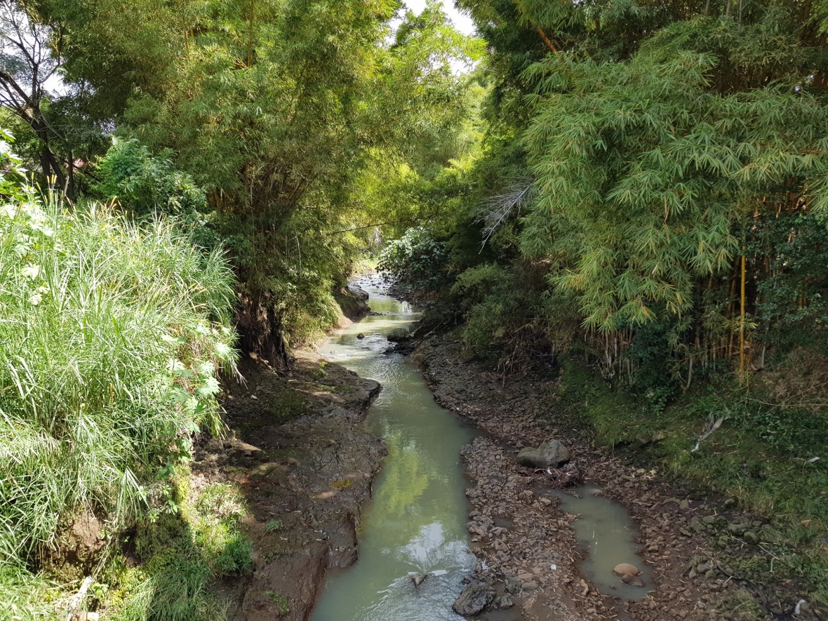
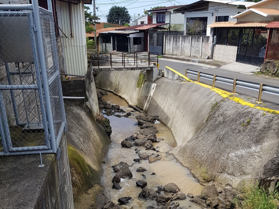
  • Channelization of the river in Barva; the dry channel indicates intermittent flow.

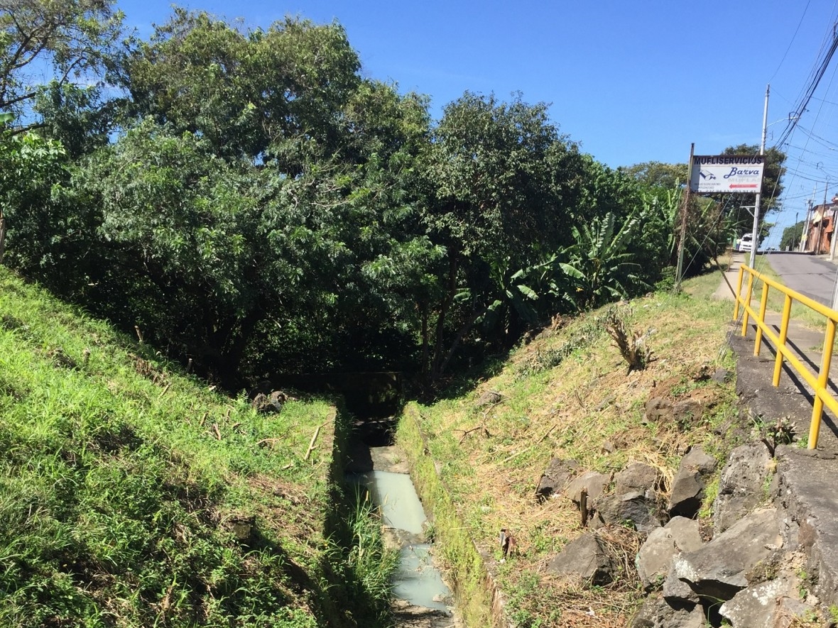
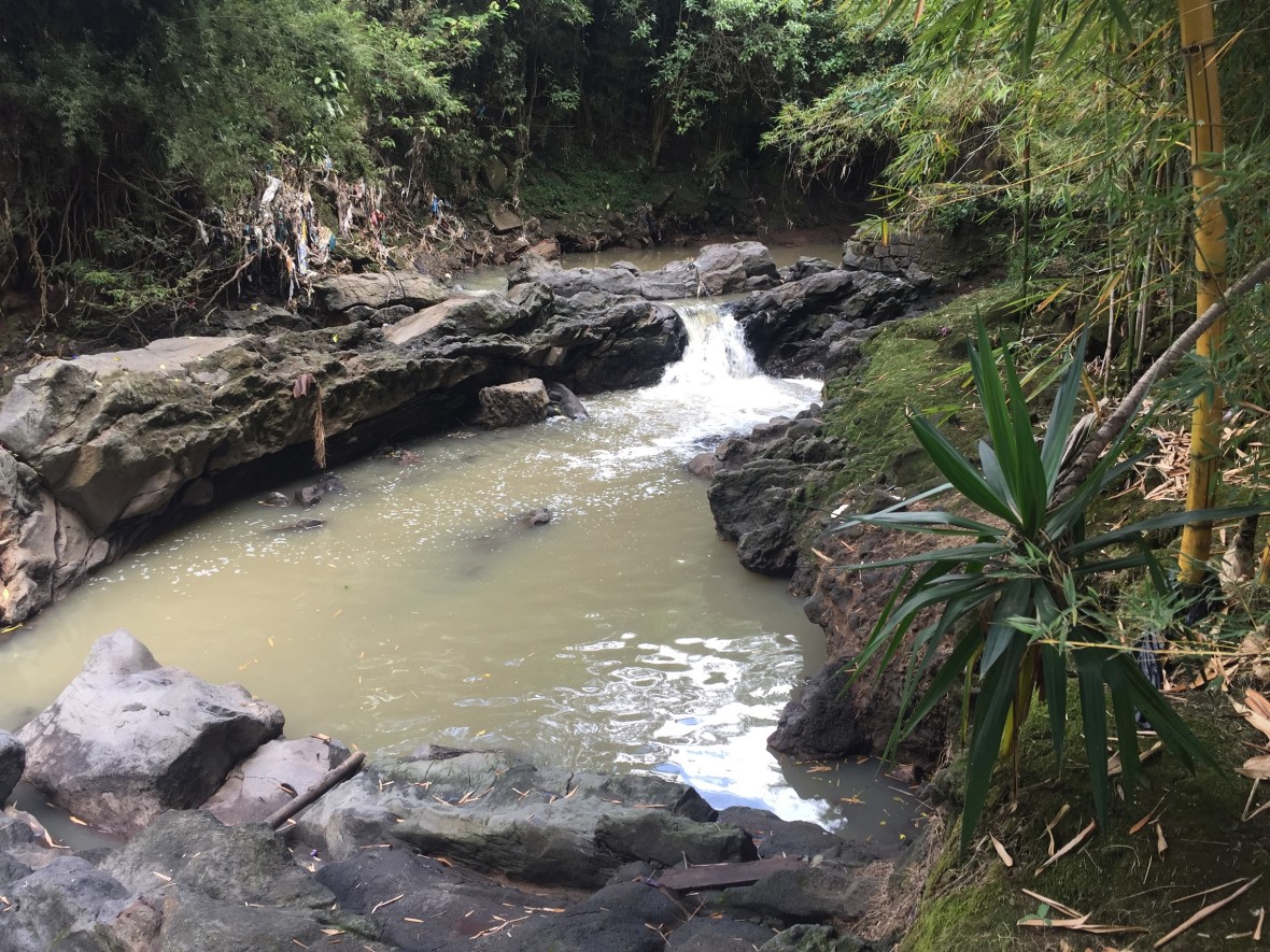
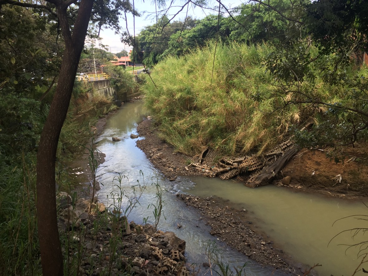
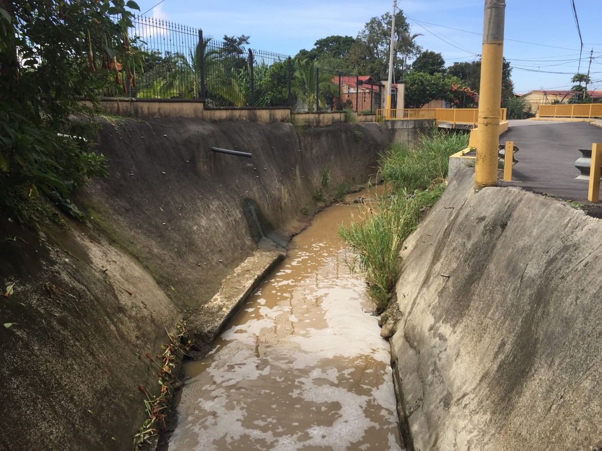
  • Upstream Quebrada Seca; the color of the water suggests that waste water is discharged nearby.

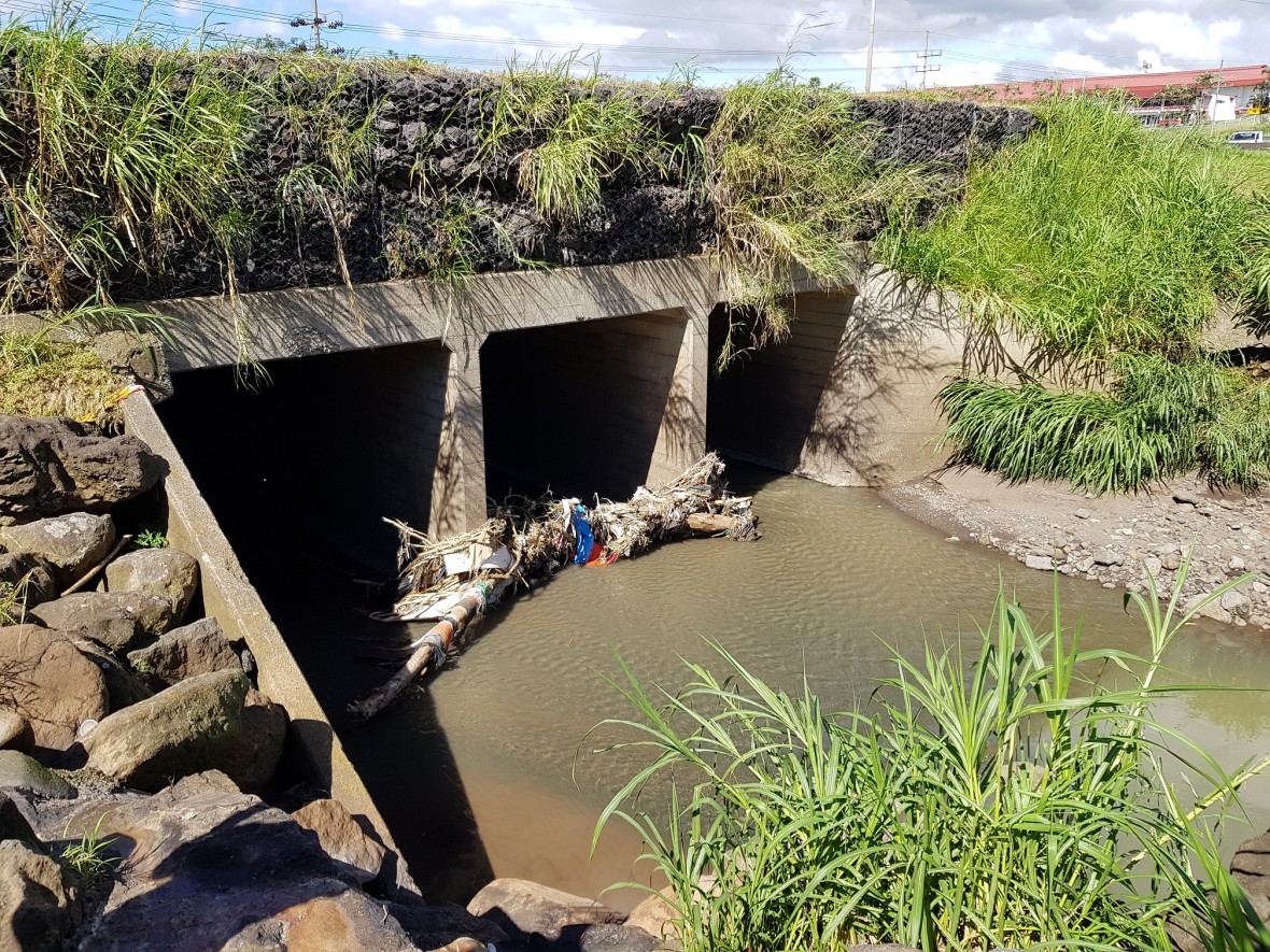
  • A brigde on a highway in Belen; the image shows clogging on the base of the brigde due to upstream discharges of solid waste.

  • Evidence of solid waste carried by the river flow and water level rise with rainfall.

  • Early warning system station in Belen, river’s stage and meteorological data is collected from this station.

  • San Antonio de Belen, evidence of failures in the scour erosion control infrastructure.

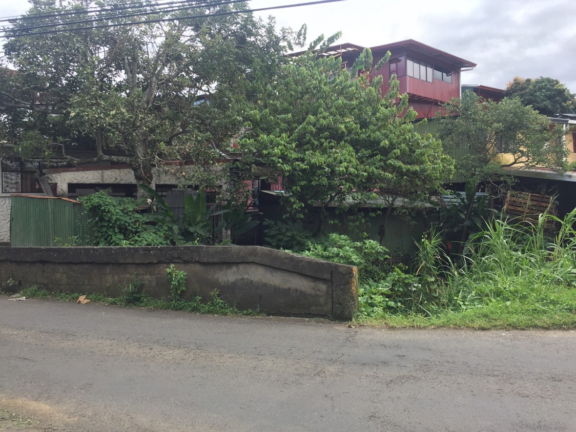
  • Invasion of riparian areas in Belen evidences competition for space along the river.

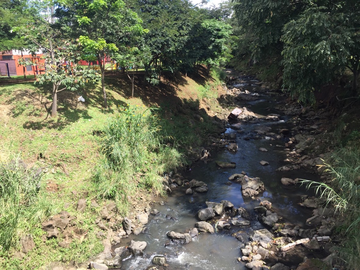
  • Despite the degree of urbanization in the river basin, fragments of green riparian areas could be found in Belen.

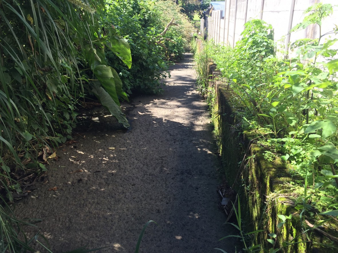
  • Although the natural riparian area has been altered, there are sections where the riverside has been respected, Flores.

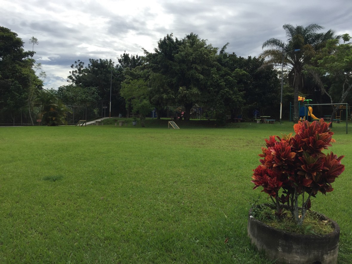
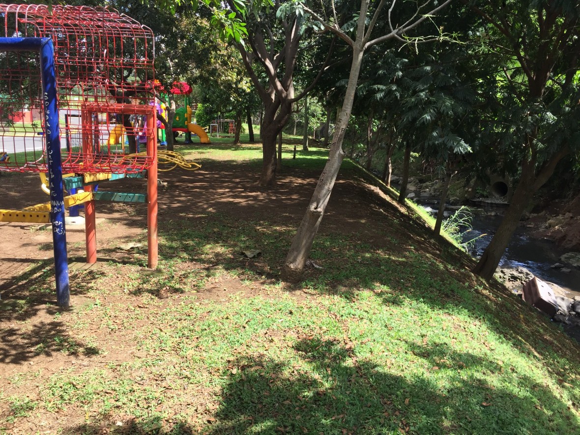
  • An agreement between a civil organization and public authorities made it possible to locate a recreational area nearby the river, Flores.

  • Green areas within the city of Heredia.

  • River embankment to control scour erosion in the section of “el Bajillo”, Heredia.

  • Early warning system station in Heredia, section “el Bajillo”.

  • Invasion of the riparian areas are also common upstream the river in the municipality of San Rafael.